Bidspirit auction | Le Bannat de Temeschwar d'après
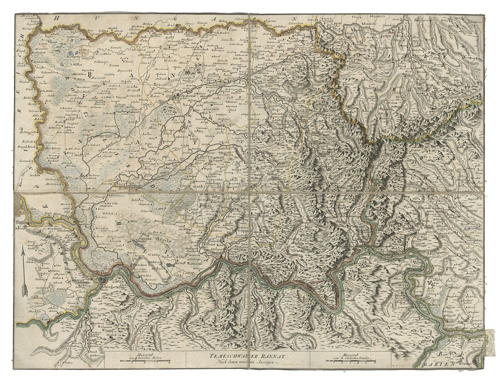
Le Bannat de Temeschwar d'après les nouvelles indications by M. Benedicti Se. (1789) - A detailed map of the Banat of Temeschwar, produced in 1789 during the Austro-Turkish War (1788–1791). This map highlights the region's strategic significance as a frontier zone between the Austrian Habsburg Monarchy and the Ottoman Empire. It depicts towns, routes, and imperial boundaries, with Belgrade prominently marked as a key battleground. In 1789, Austrian forces under General Gideon Ernst von Laudon recaptured Belgrade, achieving a major victory. Published in French, the map offers a glimpse into the geopolitical dynamics of the late 18th century. Condition Report: Backed on linen. Trimmed borders. Image Size: 42.5 x 57 cm (16.7 x 22.4 inches). Keywords: Banat of Temeschwar map, Austro-Turkish War cartography, 18th-century frontier maps, Belgrade 1789, Habsburg-Ottoman conflict, M. Benedicti maps, Gideon Ernst von Laudon, Austrian military history, Ottoman Empire boundary maps, historical maps of Southeast Europe, military history.