Bidspirit auction | Ent Wurff des Flusses Guaiaquil,
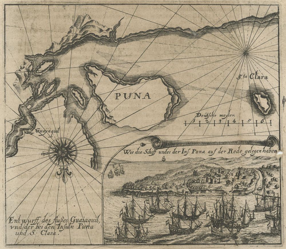
Ent Wurff des Flusses Guaiaquil, und der bei den Insuln Puna und S. Clara by Theodor de Bry (1590-16 - A 16th-century map by Theodor de Bry, titled Ent Wurff des Flusses Guaiaquil, und der bei den Insuln Puna und S. Clara, depicting the region surrounding the Guayaquil River, including the islands of Puna and Santa Clara. Published in Reisen im Occidentalischen Indien, this map is a fascinating example of early European cartography in South America. The map features intricate details of the river and the surrounding islands, providing insight into the geography of Ecuador during the colonial era. It forms part of a larger collection documenting European exploration of the Americas during the late 16th century. Condition Report: Minor hole to the right side of the map. Image Size: 15.5 x 17.5 cm (6.1 x 6.9 inches). Keywords: 16th-century map, Theodor de Bry, Guayaquil River, Puna Island, Santa Clara Island, colonial South America, early European exploration, historical cartography, Reisen im Occidentalischen Indien, Ecuador map, 1590s cartography.