Bidspirit auction | Ogilby Road Map from London
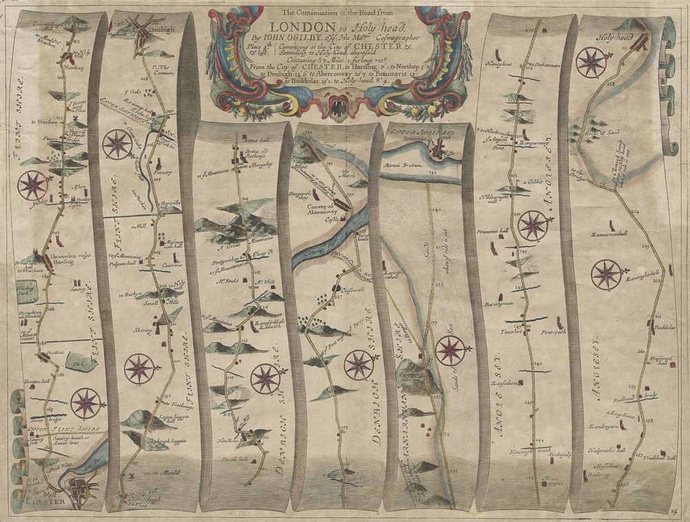
Ogilby Road Map from London to Holyhead (87 Miles) - A highly detailed and historically significant Ogilby Road map from London to Holyhead, covering a distance of 87 miles. The map includes important locations along the route, such as Chester, Harding, Northop, Denbigh, Aberconway, Beaumaris, Bodedar, and Holyhead. The map showcases the meticulous cartographic style of John Ogilby, an influential figure in road mapping during the 17th century. Size: 36.5 x 48 cm ( 14.4 x 18.9 inches) Condition: Restoration to top left and right margins, with a small section in the top margin also restored. Keywords: Ogilby map, London to Holyhead, 17th century road map, historical cartography, John Ogilby, England road map, vintage map, travel route map, Holyhead, Chester, Denbigh, Aberconway, Beaumaris, historical restoration, county maps, England map, British isles