Bidspirit auction | 1662 Blaeu Map of Lincolnshire,
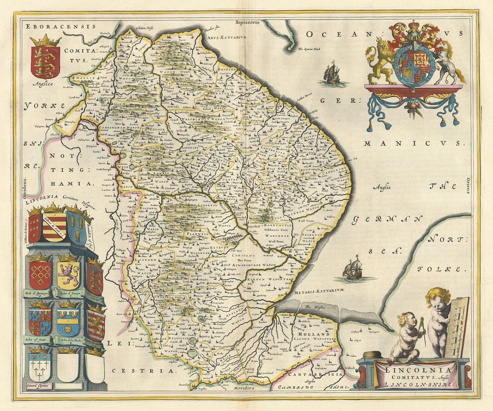
1662 Blaeu Map of Lincolnshire, ”Lincolnia Comitatus”, English Civil War, Original Colour - This fine example of the map of Lincolnshire, titled Lincolnia Comitatus. Anglis Lincoln-Shire, was published by Blaeu in Amsterdam in 1662, part of the Latin text edition. Originally published in 1645 during the English Civil War, this map is richly decorated with a pillar of armorials representing the local nobles, including John of Gaunt, two Royal crests, and a title cartouche featuring two putti holding a pair of compasses and a rule. This map comes from Blaeu's Atlas Major, the largest and most expensive atlas of the 17th century, consisting of eleven volumes. Ideal for collectors of historical English maps, Civil War-era cartography, and Blaeu atlases. Condition: Centre fold lightly toned. Size: 420 x 505 mm (16.5 x 19.9 inches).