Bidspirit auction | Opulentissimum Sinarum Imperium juxta... By
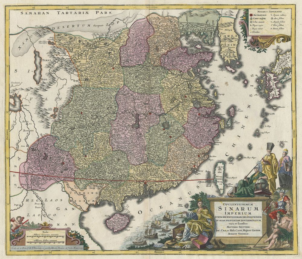
Opulentissimum Sinarum Imperium juxta... By Matthäus Seutter map of China - A beautifully engraved map of China, divided into provinces and adorned with an elaborate allegorical title cartouche that highlights European trade with China. Originally designed by Matthäus Seutter around 1730, this example was later published by Tobias Conrad Lotter, Seutter’s son-in-law and successor, following his establishment of a separate publishing business in 1758. Cartographer: Matthäus Seutter (published by Tobias Conrad Lotter) Title: Opulentissimum Sinarum Imperium juxta Recentissimam Delineationem in suas Provincias Distermunatum Publication Place: Augsburg Publication Date: c.1760 Size: 50 x 59 cm (19.7 x 23.2 inches) Condition: Signs of wear, with a minor crease in the bottom-right corner. Keywords: China map, Matthäus Seutter, Tobias Conrad Lotter, allegorical cartouche, European trade with China, 18th-century maps, provincial divisions, historical cartography, Asian maps, Augsburg publishers, decorative maps.