Bidspirit auction | Plano de la Ría y
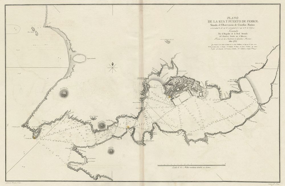
Plano de la Ría y Puerto de Ferrol Situado el Observatorio de Guardias Marinas - A detailed chart of the Ría and Port of Ferrol, featuring the Naval Observatory for Marine Guards. Created under the direction of Vicente Tofiño de San Miguel, a distinguished naval officer and cartographer, known for his contributions to Spanish maritime navigation. Cartographer: Brigadier Vicente Tofiño de San Miguel Publisher: Dirección de Hidrografía, 1789 Size: 65 x 100.5 cm (25.59 x 39.57 inches) Condition: A good example. Keywords: Ferrol, Vicente Tofiño de San Miguel, Ría de Ferrol, Puerto de Ferrol, Spanish cartography, nautical chart, 1789, naval observatory, maritime navigation, Dirección de Hidrografía, 18th-century maps, Spanish coastline, maritime navigation, cartography, hydrography, naval chart