Bidspirit auction | Le Royaume de France et
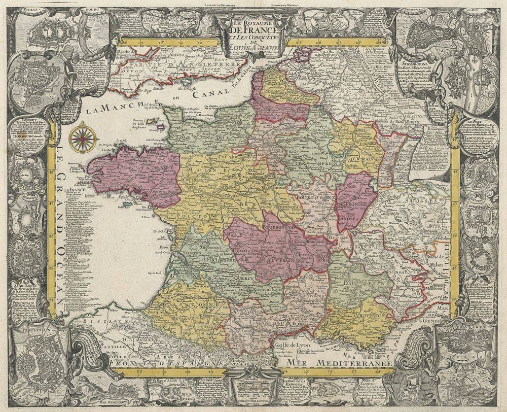
Le Royaume de France et les Conquêtes de Louis le Grand by Lotter - A beautifully detailed map illustrating the Kingdom of France and the conquests of Louis XIV, ”The Sun King, ” from 1640 to 1695. Surrounding the map are inset plans of towns and cities, including Strasbourg, Algiers, and Perpignan, highlighting significant locations attacked or captured during Louis XIV's reign. This side-bound example is stitched along the left margin and lacks a center fold, making it a unique presentation of the cartographer's work. Cartographer: Tobias Conrad Lotter Publication Place: Augsburg Publication Date: c.1750 Size: 47 x 57.5 cm (18.5 x 22.6 inches) Condition: Binding holes in the left margin. Keywords: France, Louis XIV, Sun King, Tobias Conrad Lotter, 18th-century maps, Strasbourg, Algiers, Perpignan, French conquests, historical cartography, inset plans, Augsburg, antique maps, European maps, French map,