Bidspirit auction | Regiones Inundatae in finibus Comitatus
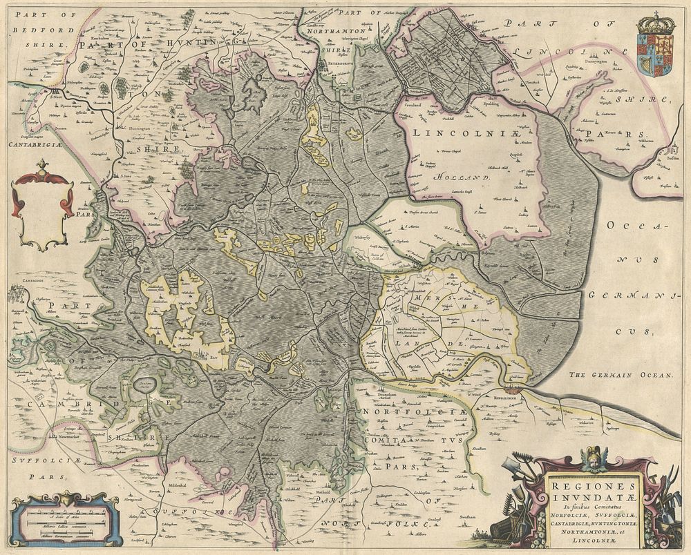
Regiones Inundatae in finibus Comitatus Norfolciae, Suffolciae, Cantabrigiae, Huntingtoniae, Northam - This map illustrates the Fenlands region, encompassing parts of Norfolk, Suffolk, Cambridgeshire, Huntingdonshire, Northamptonshire, and Lincolnshire. Centered around Ely, it is oriented with north to the right and lacks a compass rose. The map highlights fortified cities like Kings Lynn, Newmarket, Cambridge, and Peterborough with 3-D icons, along with roads, villages, forests, and swamps. The map is richly adorned with a coat of arms, a blank dedication cartouche, and decorative title and distance scale cartouches. About half of the map depicts water and swamp, emphasizing the historically marshy landscape where towns and cities were situated on small islands. Today, the entire region has been reclaimed, with much of it under cultivation or designated as wildlife sanctuaries. The Fens were historically an estuary of the North Sea and one of England's largest swamplands. While the Romans initiated drainage efforts, the area became marshy during the Anglo-Saxon era. Effective drainage was pioneered by Cornelius Vermuyden, a Dutch engineer, in the 17th century, with continued improvements culminating in the mid-20th century. Size: Image: 43.5 x 54.5 cm (17.1 x 21.5 inches). Condition: signs of wear. Published: Amsterdam, Blaeu c.1640. Original colour Keywords: Fenlands, Ely, Norfolk, Suffolk, Cambridgeshire, Huntingdonshire, Lincolnshire, North Sea estuary, Roman drainage, Cornelius Vermuyden, 17th-century cartography, Blaeu map, decorative cartouches, English counties, England map, British Isles map