Bidspirit auction | A Topographical Plan of Manchester
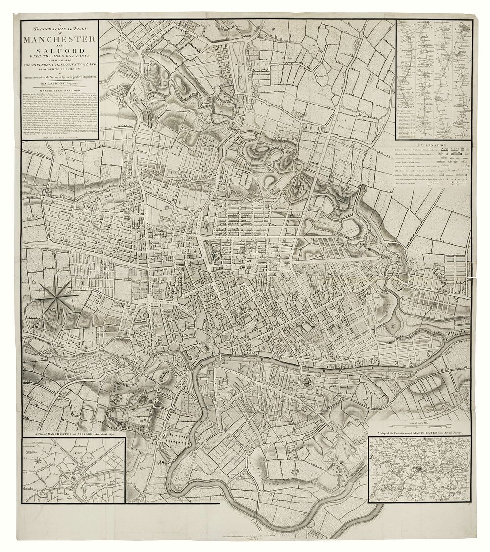
A Topographical Plan of Manchester and Salford (1793) - This large and detailed map of Manchester and Salford showcases the planned developments in the northeast of the city, including the allotments of land proposed for construction by various landowners. The map includes inset details, including a plan of the city from circa 1650, the route from London to Manchester, and the surrounding areas of Manchester. Originally published by Charles Laurent in 1793, the plates were acquired by John Stockdale, who used them to illustrate Aikin's Description of the Country from Thirty to Forty Miles Round Manchester. The engraving was done by the renowned cartographer John Cary. Size: Total size 104 x 92 cm, 40.94 x 36.22 inches. Condition: Four sheets conjoined; binding folds flattened. Keywords: Manchester, Salford, 1793 map, Charles Laurent, John Stockdale, John Cary, topographical plan, historic map, city development, land allotments, Aikin's Description, 18th century map, historic cartography, urban planning, Manchester history, British topography. England map, Map of Manchester, North England map, town plan, city plan, antique map, vintage map, British Isles map