Bidspirit auction | Plano de la Desembocadura del
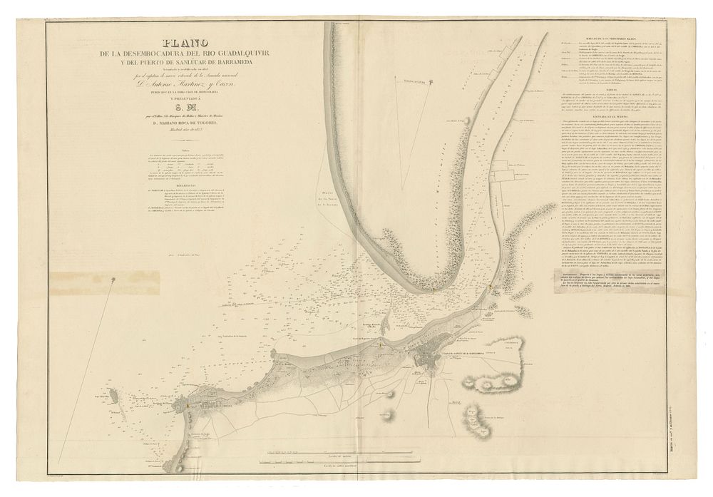
Plano de la Desembocadura del Río Guadalquivir y del Puerto de Sanlúcar de Barrameda - A detailed nautical chart of the mouth of the Guadalquivir River and the port of Sanlúcar de Barrameda, including the city and its surrounding coastline. Notable for an annotation from 1868, which mentions the replacement of the Chipiona lighthouse with a new structure. Cartographer: Antonio Martínez y Bacon Publisher: Dirección de Hidrografía, Madrid, 1853 Size: 68.5 x 100.5 cm (approx. 26.97 x 39.57 inches) Condition: Good. Keywords: Sanlúcar de Barrameda, Guadalquivir River, Antonio Martínez y Bacon, Dirección de Hidrografía, nautical chart, 1853, Spanish coastline, maritime navigation, Chipiona lighthouse, cartography, hydrography, naval chart