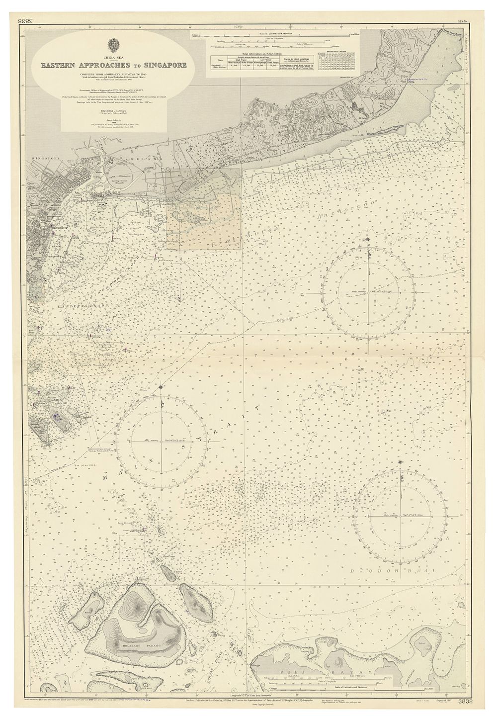
Bidspirit auction | Sea Chart of Eastern Approaches
Sea Chart of Eastern Approaches to Singapore - Compiled from Admiralty surveys up to 1945, with corrections up to 1960. Shows soundings, bearings, islands, and routes to Singapore, including Belakang Padang and Pulo Batam islands. Publisher/Creator: Admiralty Size: 102.5 x 70 cm (40.35 x 27.56 inches) Condition: Great condition. Keywords: Singapore, eastern approaches, sea chart, Admiralty survey, 1945, Belakang Padang, Pulo Batam, navigation, maritime, cartography, bearings, soundings, naval chart, crown, hydrographic office