Bidspirit auction | Pictorial Map of the North
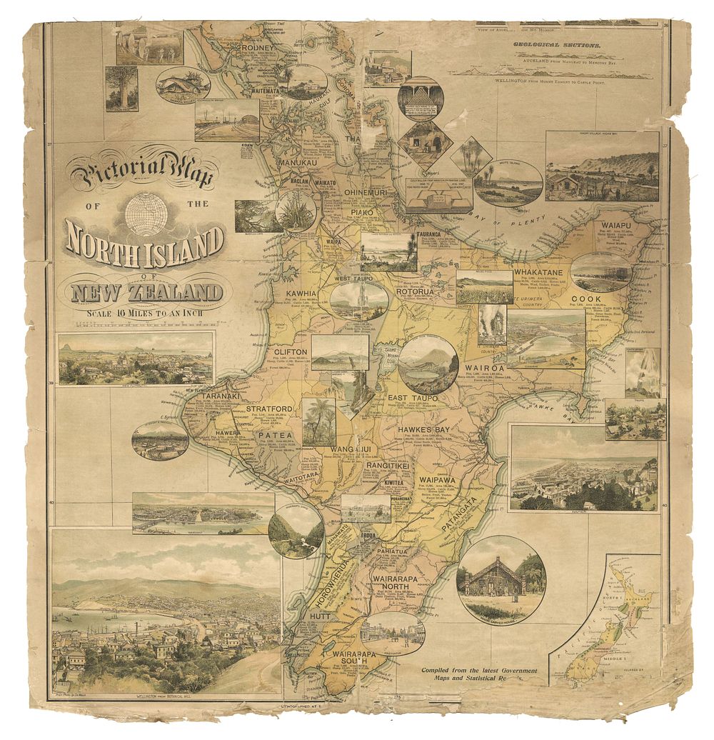
Pictorial Map of the North Island of New Zealand Compiled from the latest government maps and statis - A very rare 1898 pictorial map of the North Island of New Zealand, issued as a supplement to the Christmas number of the New Zealand Graphic. This map is the lower part of a larger map, showcasing geological sections, insets of pictures of towns and scenic attractions, and statistical data on area size, population, and agriculture. The map features hachures and spot heights, providing detailed topographical information. Published by the N.Z. Graphic and Star Printing Works, it represents an important piece of late 19th-century cartographic and cultural history. The National Library of New Zealand holds the only known copy of the full map. Size: 61.5 x 55 cm (24.2 x 21.7 inches). Condition: Missing upper sheet; damage to centrefold and margins, with a portion of the lower margin missing. Laid on linen. Published: Auckland, N.Z.: N.Z. Graphic and Star Printing Works, c.1898 Keywords: North Island map, New Zealand maps, 19th-century cartography, pictorial map, geological map, rare map, New Zealand Graphic, Auckland printing, Oceania, Town plans, city views, new discovery