Bidspirit auction | 19th Century Sea Chart of
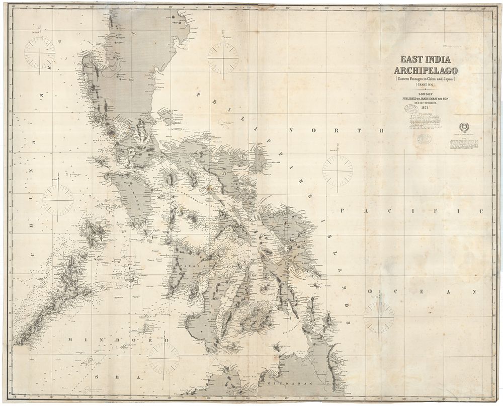
19th Century Sea Chart of the Central Philippines by James Imray, 1878 - A large and highly detailed nautical chart of the central Philippines, published by James Imray & Son in London, 1878, titled East India Archipelago (Eastern Passages to China and Japan) (Chart No.6). The chart covers the region from Luzon, south of San Fernando City, to Iligan Bay in Mindanao, and west to Palawan. The chart is enhanced with touches of original colour, two sheets joined, and backed onto blue paper. It includes the Imray stamp dated 1879 and the stamp of 'J Donne Admiralty Chart Agent and Nautical Bookseller' from Melbourne. Condition: small repairs, spots, and stains, with a replaced bottom left corner section showing some loss of printed surface. Size: 1040 x 1270 mm (41 inches x 50 inches). Keywords: Philippines map, chart of Philippines, James Imray map, antique map, antique chart, 19th century nautical chart, blue-back chart, historical sea chart, Philippines navigation map, Imray sea chart, antique maritime chart.