Bidspirit auction | Detailed Chart of the Bay
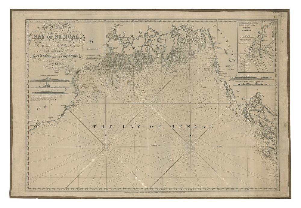
Detailed Chart of the Bay of Bengal by John Stratton Hobbs, 1850 - A detailed nautical chart by John Stratton Hobbs, depicting the Bay of Bengal from Chilka Lake to Manuag Island in Burma. The chart focuses on the complex channels through the Sundarbans, including the entrances to the Hooghly River and the vital route to Calcutta, the main city of British India. Published in London by Charles Wilson in 1850, this chart is enhanced with touches of original colour. Condition: the date in the title has been altered to 1880 in ink manuscript. The chart is backed on canvas and retains the publisher’s title label. Size is 65 x 94 cm (25.59 x 37.01 inches). Keywords: John Stratton Hobbs, Bay of Bengal, Bangladesh, Hooghly River, Calcutta map, British India, nautical chart, 19th century maritime chart, Sundarbans, historical sea chart, Bengal waterways.