Bidspirit auction | Plan der Insul Martinique.. by
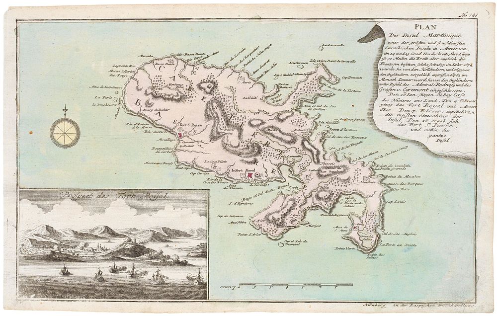
Plan der Insul Martinique.. by RASPE, Gabriel Nikolaus. - A detailed map of Martinique, with an inset view of Fort Royal, published in Raspe's 'Schau Platz des gegenwaertigen Kriegs' (Plates illustrating the Current Wars), which contained maps illustrating the various campaigns of the Seven Years' War. This chronicles the capture of the island by Admiral George Rodney and Brigadier Robert Monckton in 1762, only for Martinique to be returned to France by the Treaty of Paris the following year. Size: 23 x 37.5cm. Condition: a good example. Published: Nuremberg, Raspe, 1762. Original colour. Keywords: antique map, America, West indies, Cuba, Gulf of Mexico, Indies, Atlas, Travel book, Isolaria,