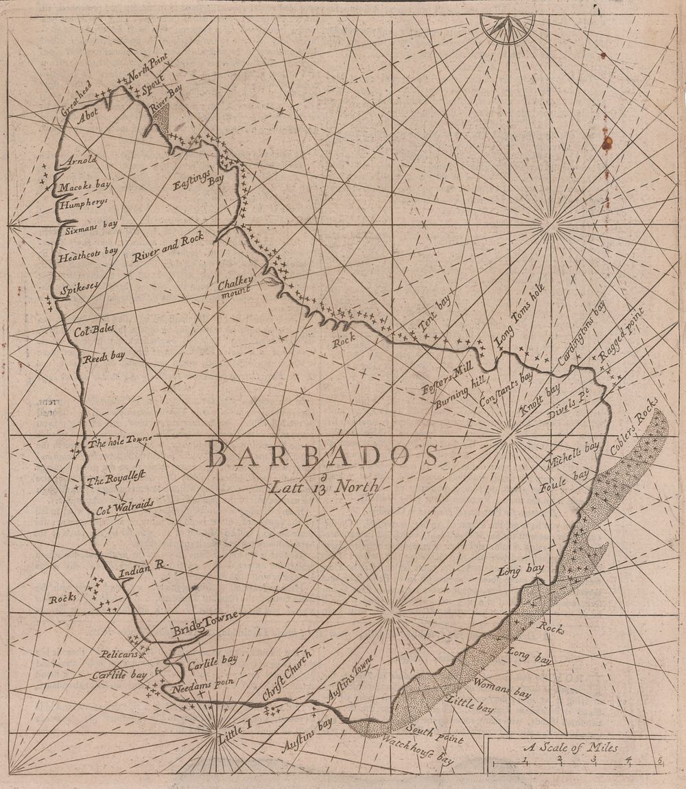
Bidspirit auction | An 18th century Irish chart
An 18th century Irish chart of Barbados by GRIERSON, George. - A close copy of John Thornton's chart of Barbados, first published c.1700, from the Irish pirate edition of Mount & Page's 'The English Pilot. The Fourth Book Describing The West India Navigation...', the first sea atlas of America containing charts only from English sources. Greierson (1680?-1753) may have been Printer to the King in Ireland, but this did not stop him pirating atlases including those of Thornton and Moll. Size: 29 x 26cm. Condition: a good example. Published: Dublin: George Grierson, 1749, set in text. Keywords: America, South America, Cuba, Barbados, West Indies, Gulf of Mexico, Atlas, Antique map, Nautical chart, city plan, town plan