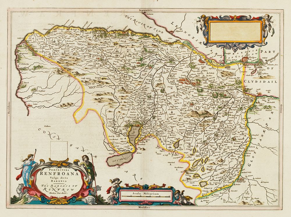
Bidspirit auction | Praefectura Renfroana Vulgo dicata Baronia.
Praefectura Renfroana Vulgo dicata Baronia. Map of Renfrewshire from the first atlas of Scotland. - A 17th century map of Renfrewshire, with elaborate cartouches for title, scale and blank dedication. Paisley is marked, with its abbey, as is Glasgow, despite being in the adjoining county. This was the first printed map of Renfrewshire, as surveyed by Timothy Pont (1565-1614) who had mapped most of Scotland in superb detail in the 1580s and 1590s. Despite the quality of his work and the attention of James I & VI, his atlas was not published until forty years after his death, as Volume 6 of Blaeu's 'Atlas Novus'. This example comes from the eleven-volume 'Atlas Major'. Size: 39.5 x 54 cm. Condition: small rust spot. Published: Amsterdam: Johannes Blaeu, 1662, Latin edition. Original colour. Keywords: Scotland, Wales, England, Counties, Blaeu, Atlas, town plan, city view, Scottish counties, 17th century maps, antique map, historical print, geography