Bidspirit auction | Antique Map of Deventer, ”Daventria”
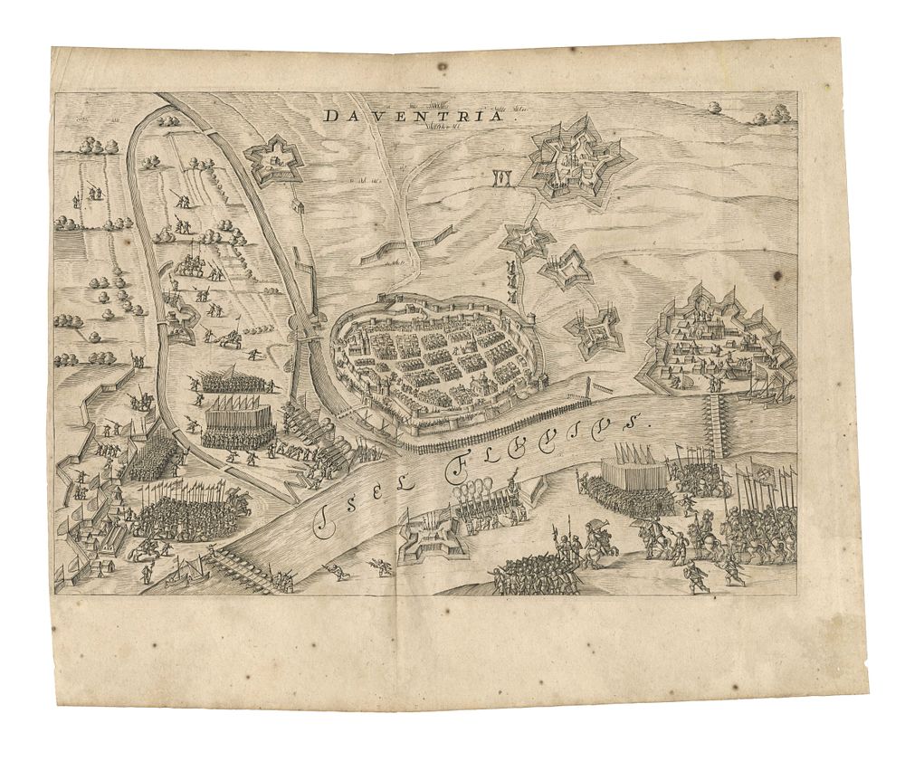
Antique Map of Deventer, ”Daventria” - This antique map of Deventer depicts the siege and occupation of the city by the State army under the command of Prince Maurits on 10 June 1591. The detailed engraving captures the fortified city with its walls, ramparts, and surrounding lands. Two pontoon bridges stretch across the IJssel River, providing strategic insight into the siege's operations. Originally published in La genealogie des illustres comtes de Nassau by Jan Jansz. Orlers and Hendrik van Haestens, the map offers a fascinating glimpse into Dutch military history and urban geography during the Eighty Years' War. Cartographer: Jan Janszoon Orlers Date: c.1615 Condition Report: Signs of wear, with some spotting visible. Image Size: 32 x 21.5 cm (12.6 x 8.5 inches) Keywords: Deventer antique map, Daventria, siege of Deventer 1591, Prince Maurits, Dutch history, Eighty Years' War, fortifications, IJssel River, Jan Janszoon Orlers, Hendrik van Haestens, historical city maps, antique Netherlands maps, military history, urban cartography, rare Dutch engravings, old maps of Deventer.