Bidspirit auction | Zeelandiae Comitatus
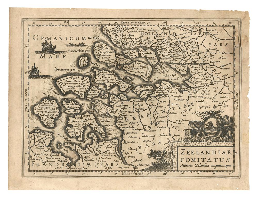
Zeelandiae Comitatus - An original map of Zeeland, published in Amsterdam by Johannes Janssonius van Waesberge c. 1676. The map is part of the work Nieuwe en beknopte uytbeeldinge en vertooninge der gantscher aerdbodem... The map features detailed cartographic representation of Zeeland, including a scale (Miliaria Zelandica) and geographical features relevant to the region. The first state of this map was issued in 1630 by Jan Evertsz. Cloppenburch. The verso has text. This map is a fine example of Dutch cartography from the 17th century. Condition Report: Damage to the right-side margin and slight staining to the top right patch. Image Size: 18.5 x 25 cm (7.3 x 9.8 inches). Keywords: Zeeland map, Janssonius van Waesberge, 17th-century Dutch map, Zeelandiae Comitatus, historical map of Zeeland, Miliaria Zelandica, cartography, Dutch regional maps, Johannes Janssonius, early Dutch cartography, Zeeland atlas, Dutch maritime maps.