Bidspirit auction | Tallis' Map of Germany, Engraved
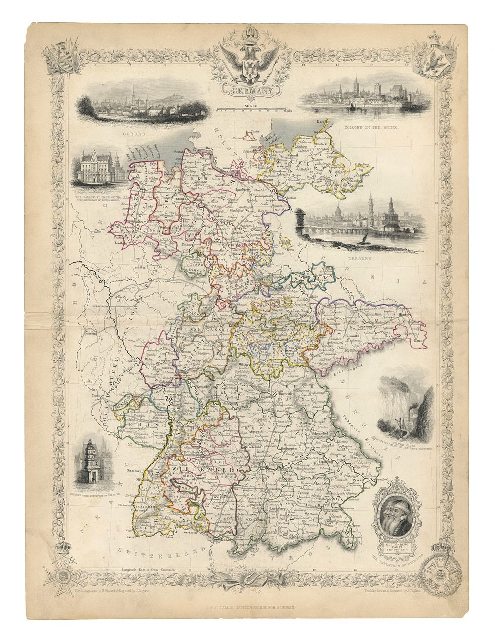
Tallis' Map of Germany, Engraved by John Rapkin, c.1851 – Includes Vignettes of Historical Sites - This detailed map of Germany, engraved by John Rapkin for the Illustrated Atlas around 1851, features intricate vignettes highlighting key historical and cultural landmarks. Among the included illustrations are the Palace at Saxe Gotha (birthplace of Prince Albert), Coburg, Cologne, Dresden, Luther’s house in Frankfurt, and the silver mines of the Harz Mountains. Additionally, the map includes profiles of Johannes Gutenberg, Johann Fust, and Peter Schoeffer, the pioneers of printing. A beautifully crafted piece for collectors of 19th-century maps, historical Germany, and the history of printing. Condition, condition is good minor tear to centrefold within margin on right hand side and some discoloration to margin. Size of sheet 35.5cm (height) x 26.7 cm (width), 14 x 10.5 inch.