Bidspirit auction | Barbariae et Biledvlgerid, Nova Descriptio
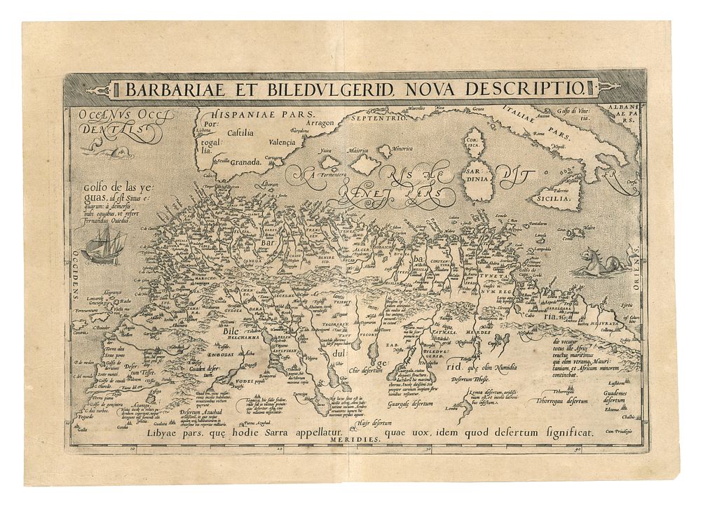
Barbariae et Biledvlgerid, Nova Descriptio abraham Ortelius - This striking map by Abraham Ortelius, one of the most renowned cartographers of the 16th and 17th centuries, presents a detailed view of northeast Africa and surrounding regions. It includes the Mediterranean Sea, Sicily, Corsica, Sardinia, the Balearic Islands, the Canary Islands, as well as parts of Spain, Italy, and Albania. Published in 1608, this map offers significant historical and geographical insight into the area. It is meticulously engraved, showcasing Ortelius' signature style and cartographic precision. This map, Barbariae et Biledvlgerid, forms part of Ortelius' monumental atlas Theatrum Orbis Terrarum. Author: Abraham Ortelius Condition Report: A good example, Image Size: 49.5 x 33 cm (19.5 x 13 inches) Keywords: Abraham Ortelius, Barbariae et Biledvlgerid, map of northeast Africa, Mediterranean Sea, Sicily, Corsica, Sardinia, Balearic Islands, Canary Islands, historical maps, early modern cartography, Theatrum Orbis Terrarum, copperplate engraving, 17th-century maps, antique world maps, Ortelius maps, rare antique maps.