Bidspirit auction | Nova Totius Livoniae accurata Descriptio
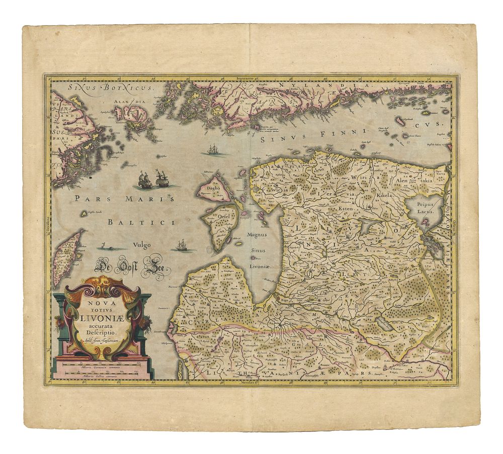
Nova Totius Livoniae accurata Descriptio by Jan Jansson - This finely engraved 17th-century map of Latvia and Estonia was published by Johannes Janssonius in 1638. Janssonius, a contemporary and rival of Blaeu, was one of the most important Dutch map publishers of the Golden Age of Cartography. His atlases expanded upon those of Mercator and Hondius, bringing more accurate and refined geographical representations to European audiences. Cartographer: Johannes Janssonius Date: 1638 Publisher: Amsterdam Medium: Copperplate engraving Language: Latin Condition Report: Minor hole in centre fold and small tear to lower margin. Otherwise, a well-preserved, coloured example. Image Size: 39 x 51.5 cm (15.4 x 20.3 inches) Keywords: Latvia, Estonia, Baltics, Johannes Janssonius, 17th-century maps, antique maps, Dutch cartography, Amsterdam mapmakers, Mercator-Hondius-Janssonius, decorative maps, historical maps of Europe.