Bidspirit auction | Principatus Benearnia / La Principauté
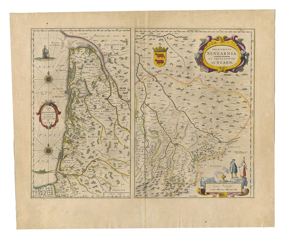
Principatus Benearnia / La Principauté de Béarn by Blaeu - A beautifully detailed and decorative 17th-century map of Béarn, a historic province in southwestern France, by the esteemed Dutch cartographer Johannes Blaeu. Published in 1640 as part of Blaeu’s renowned atlas, this map showcases the region’s towns, rivers, and topographical features with remarkable precision. It features an elaborate decorative cartouche, elegant compass roses, and original hand-colouring. Blaeu’s maps are widely regarded for their artistic and geographical excellence, making them highly desirable for collectors and historians alike. Cartographer: Johannes Blaeu Date: 1640 Publisher: Amsterdam Language: Latin (text on verso) Condition Report: A good example, with minor signs of wear to the margins. Wide margins. Image Size: 38.5 x 50.5 cm (15.2 x 19.9 inches) Keywords: Blaeu map, Béarn, France, 17th-century cartography, antique maps, decorative cartouche, compass roses, historical maps of France, Dutch Golden Age, Amsterdam mapmakers.