Bidspirit auction | Ducatus Andegavensis / ANiov, Anjou
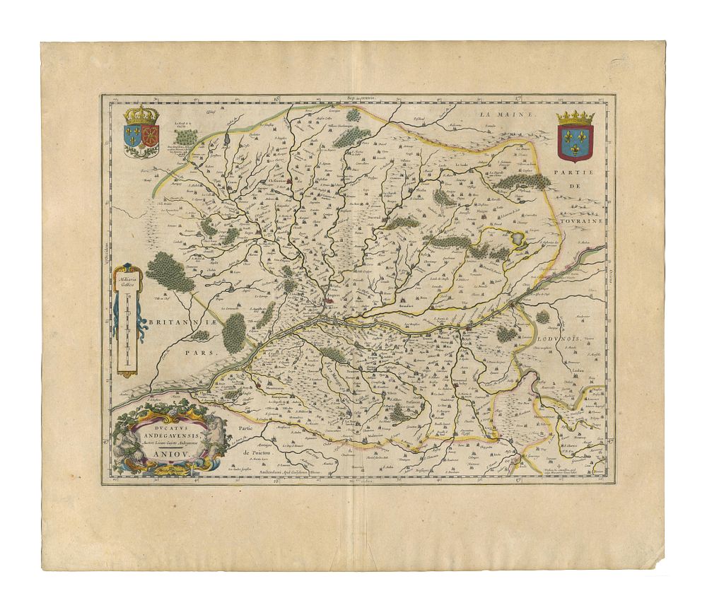
Ducatus Andegavensis / ANiov, Anjou by Blaeu - A beautifully crafted 17th-century map of the Duchy of Anjou, based on the work of Licinius Guyet (Licimo Guyeto Andegavense). Published by Johannes Blaeu in 1640, this map presents the historic province in western France. Cartographer: Johannes Blaeu Date: 1640 Publisher: Amsterdam Medium: Copperplate engraving Language: Latin (text on verso) Condition Report: Signs of wear. Image Size: 38 x 50 cm (15 x 19.7 inches) Keywords: Blaeu map, Duchy of Anjou, France, antique maps, 17th-century cartography, decorative cartouche, historical maps of France, Dutch Golden Age, Amsterdam mapmakers, Licinius Guyet, Brittany, Beaufort, Angiers