Bidspirit auction | Vtriusque Burgundiae, Tum Ducatus Tum
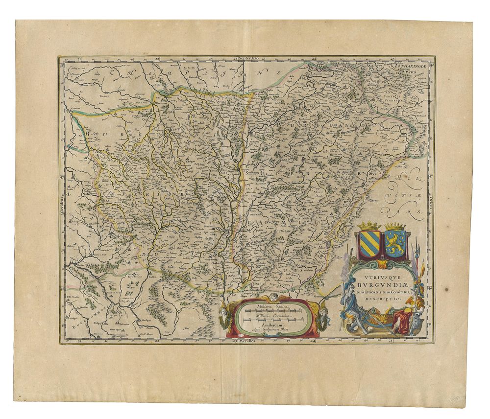
Vtriusque Burgundiae, Tum Ducatus Tum Comitatus Descriptio Burgendy France by Blaeu - A finely engraved and detailed map of both the Duchy and County of Burgundy, published by Johannes Blaeu in 1640. This historical map beautifully illustrates the region’s cities, rivers, and topography with exceptional precision. It features an elaborate decorative cartouche, reflecting Blaeu’s signature craftsmanship. The map is presented in its original hand-colour, enhancing its visual appeal and collectability. Cartographer: Johannes Blaeu Date: 1640 Publisher: Amsterdam Language: Latin (text on verso) Condition Report: Minor wear to the bottom of the centrefold and a slight tear to the lower margin. Image Size: 38.5 x 50 cm (15.2 x 19.7 inches) Keywords: Blaeu map, Burgundy, antique maps of France, 17th-century cartography, decorative cartouche, Duchy of Burgundy, County of Burgundy, Amsterdam mapmakers, Dutch Golden Age.