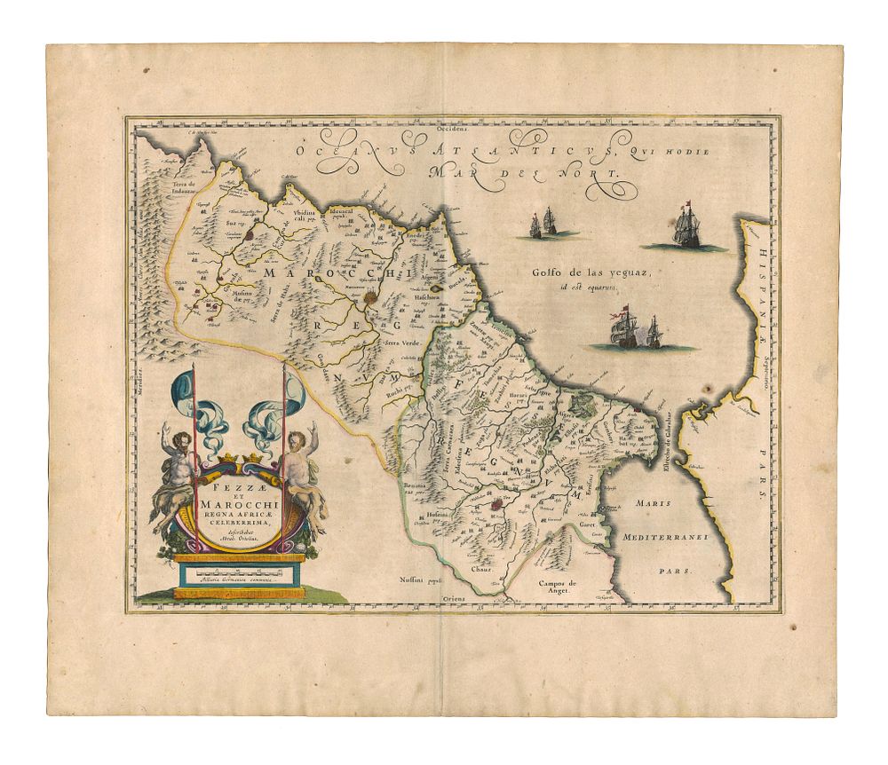
Bidspirit auction | Fezzae et Marocchi Regna Africae
Fezzae et Marocchi Regna Africae Celeberrima Describebat Abraham Ortelius, Blaeu Morocco and Gibraltar - A stunning and detailed 17th-century map of the Kingdoms of Fez and Morocco, originally based on the work of Abraham Ortelius and published by Johannes Blaeu. This map provides a rich depiction of North Africa, featuring the Strait of Gibraltar, the Atlas Mountains, and major cities such as Fez, Marrakesh (spelled ”Marruecos”), and Cadiz. The engraving is enhanced with decorative elements, including an impressive cartouche and sailing ships in the Atlantic. Cartographer: Johannes Blaeu (after Abraham Ortelius) Date: 1640 Publisher: Amsterdam Language: Latin (text on verso) Condition Report: Signs of wear, large margins, original colour. Image Size: 38 x 50 cm (15 x 19.7 inches) Keywords: Blaeu map, Ortelius, Morocco, Fez, Marrakesh, Cadiz, Strait of Gibraltar, antique maps of Africa, Atlas Mountains, Dutch cartography, 17th-century maps, Golden Age of cartography.