Bidspirit auction | A Map of West India
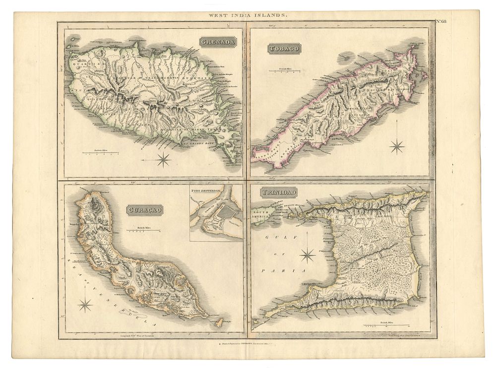
A Map of West India Islands, including Grenada, Tobago, Curacao, and Trinidad - This detailed map, drawn and engraved for Thomson's New General Atlas, depicts the West India Islands, including Grenada, Tobago, Curacao, and Trinidad. The map is rich in detail, showcasing roads, landscapes, and port views, providing a vivid insight into the geographical features and infrastructure of the islands during the early 19th century under British control at the end of the Napoleonic War. Cartographer: John Thomson Date: 1816-21. paper watermarked 1821. Published: Edinburgh Original colour. Condition Report: Signs of wear. Image Size: 52 x 59 cm (20.5 x 23.2 inches) Keywords: West India Islands, Grenada, Tobago, Curacao, Trinidad, Thomson’s New General Atlas, early 19th-century maps, uncoloured map, road networks, landscapes, port views, Caribbean maps, Edinburgh.