Bidspirit auction | 18th Century Map of Upper
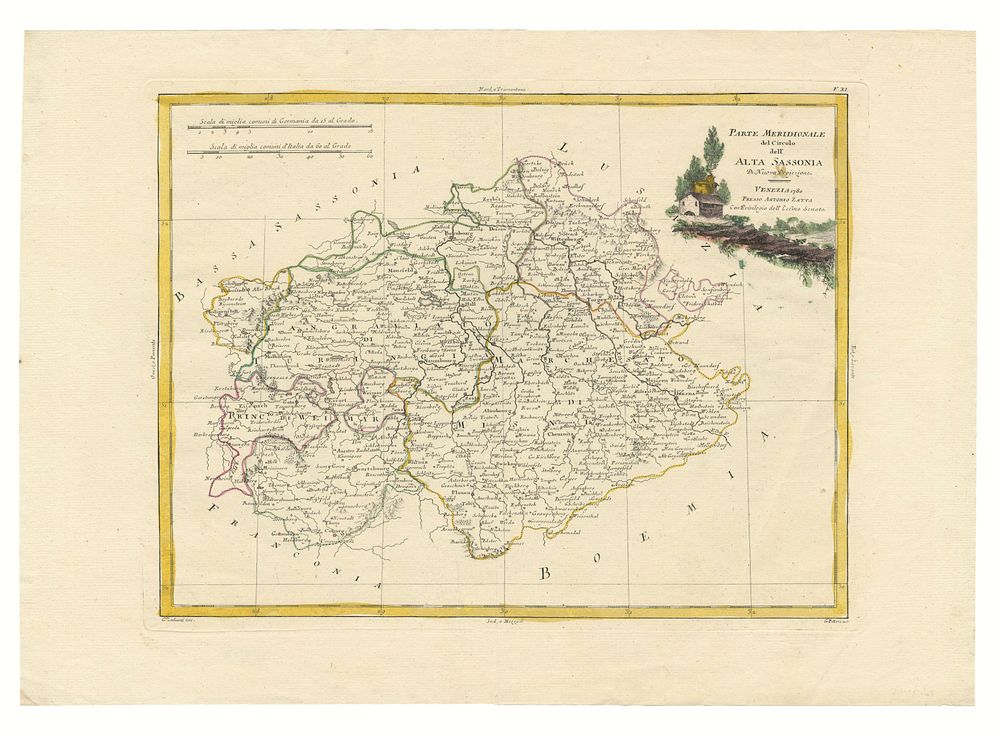
18th Century Map of Upper Saxony by Antonio Zatta (Venice, 1780) - A beautifully detailed 18th-century map of the southern section of Upper Saxony, crafted by the renowned Venetian cartographer Antonio Zatta. Published in 1780, this map focuses on the region encompassing Dresden and Meissen, two historically significant cities of the area. The map is presented with original outline colouring, offering a vivid glimpse into the cartography of the period. Size: 32.5 x 42 cm (12.8 x 16.5 inches) Condition: Original outline colour, in excellent condition for its age. Keywords: Upper Saxony, Antonio Zatta, 18th century map, Venice, Dresden, Meissen, original outline colour, historical map, German cartography, antique map, rare map, regional map, vintage cartography.