Bidspirit auction | Map of South America by
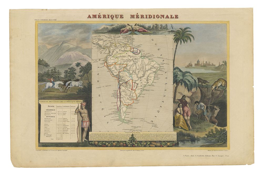
Map of South America by Levasseur, Published in Atlas Universel Illustré, Paris, c. 1850 - This beautifully detailed map of South America, published by Victor Levasseur in Atlas Universel Illustré c. 1850, is a striking example of 19th-century French cartography. The steel engraving features a highly decorative border with intricate vignettes illustrating scenes such as catching horses with bolas, gold mining, and native animals, adding an artistic dimension to the map. The original body color enhances the map’s geographical details, while the decorative borders provide a vivid portrayal of South American life and culture. Published in Paris, this map captures the essence of the continent during the mid-19th century. Great for collectors of decorative maps, South America, 19th-century French engravings, and Levasseur atlases. Condition: good example. Size of sheet 34.5cm (height) x 52cm (width), 13.5 x 2.04 inch.