Bidspirit auction | Map of Europe by Levasseur,
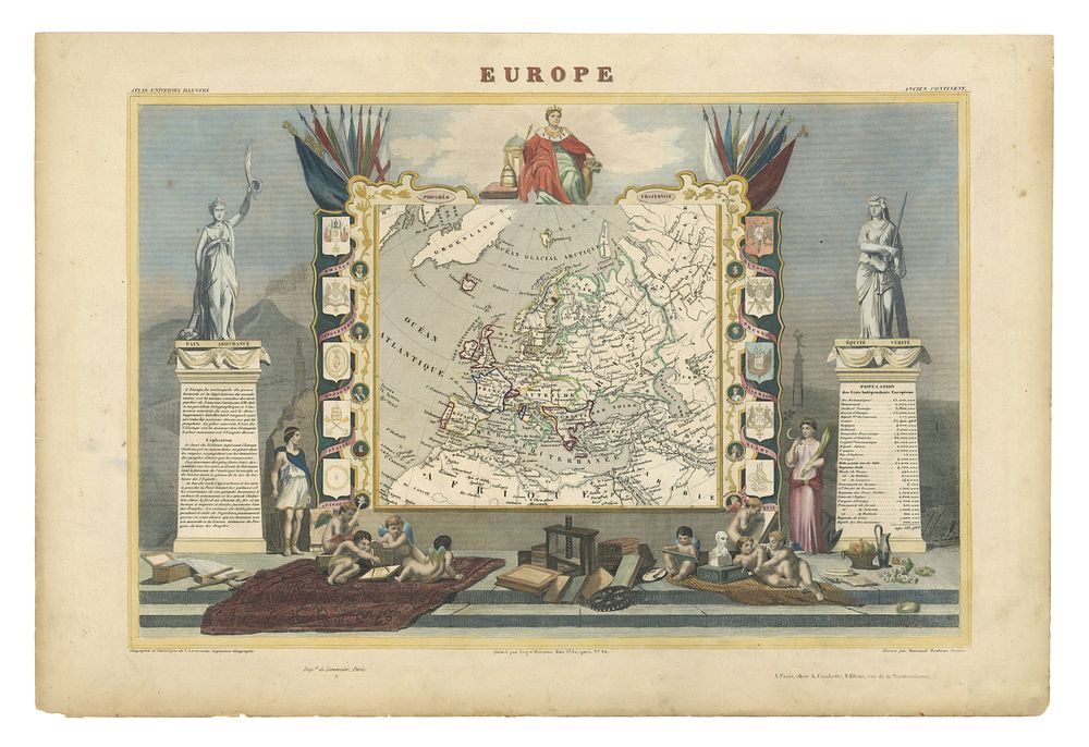
Map of Europe by Levasseur, Published in Atlas Universel Illustré, Paris, c. 1850 - This finely detailed steel-engraved map of Europe, created by Victor Levasseur and published in Atlas Universel Illustré by A. Combette, c. 1850, is a beautiful example of 19th-century French cartography. The map is surrounded by a highly decorative allegorical border, featuring symbolic imagery that enhances the map's artistic appeal. The original body colour highlights the geographical features, with additional colour to the ornate borders, offering a vivid representation of Europe in the mid-19th century. Great for collectors of decorative maps, European cartography, 19th-century French engravings, and Levasseur atlases. Condition: A good example. Size of sheet 34.5cm (height) x 52cm (width), 13.5 x 2.04 inch.