Bidspirit auction | Rare French Revolution war map
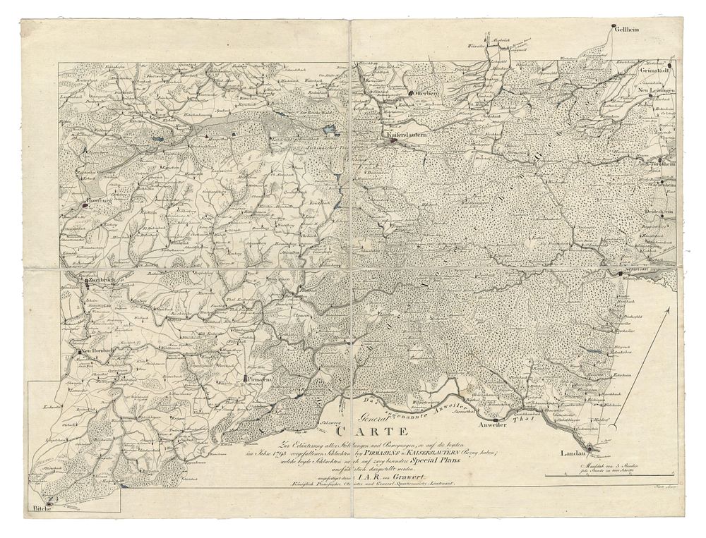
Rare French Revolution war map 1793 - A highly detailed topographical map illustrating the strategic locations and movements associated with the Battles of Pirmasens and Kaiserslautern during the French Revolutionary Wars (1792–1802), specifically the War of the First Coalition (1792–1798). The map is oriented with north at the top (marked with cardinal points) and provides an in-depth representation of roads, rivers, valleys, settlements, and woodlands. The title references two special battle plans that were intended for publication. The suggested date of 1793 is derived from the publication date of the Plan of Pirmasens, though this map may have been created earlier. The two sheets cover an extensive geographical region, spanning approximately 2,400 square miles, from Wolzburg (Rhineland-Palatinate) in the northwest to Dorf Johannisberg (Hesse) in the northeast, and from Bitche (Lorraine) in the southwest to Landau (Rhineland-Palatinate) in the southeast. This rare map is a significant historical artifact, with the only other known example held in the Royal Collection Trust, England. Condition Report: Dissected into four sections and laid on linen. General signs of wear. Cartographer: Julius August Reinhold von Grawert Date: c.1793 Image Size: 41 x 54 cm (16.1 x 21.3 inches) Keywords: Julius August Reinhold von Grawert, War of the First Coalition, French Revolutionary Wars, Battle of Pirmasens, Battle of Kaiserslautern, historical military maps, rare maps, European warfare, topographical map, atlas map, Royal Collection Trust.