Bidspirit auction | Karte von der Gefürsteten Grafschaft
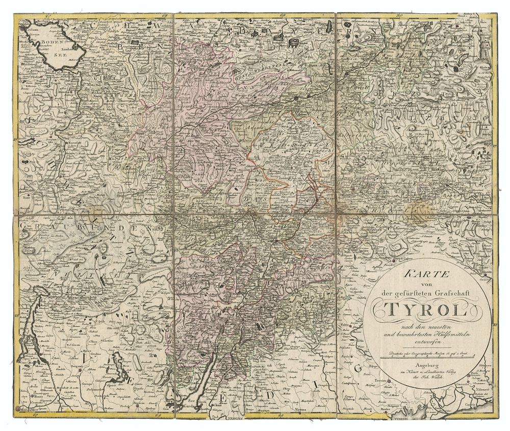
Karte von der Gefürsteten Grafschaft Tyrol nach den neuesten und bewährtesten Hülfsmitteln entworfen - A detailed 18th-century map of Tyrol, extending from Verona in the south to Lake Constance (Bodensee) in the north, including Innsbruck. The map was published by Johann Walch’s Kunst- und Landkartenverlag in Augsburg, a prominent German cartographic publisher of the period. It provides a highly detailed topographical representation of the region, showcasing towns, rivers, and mountain ranges. Cartographer/Publisher: Johann Walch, Augsburg Date: 18th century Condition Report: Dissected into six sections and laid on linen. Wear along the creases. Size: 48 x 57 cm (18.9 x 22.4 inches) Keywords: Tyrol, Innsbruck, Verona, Lake Constance, Austria maps, 18th-century cartography, Johann Walch, Augsburg map publishers, historical geography, rare maps.