Bidspirit auction | Insulae divi Martini et Uliarius,
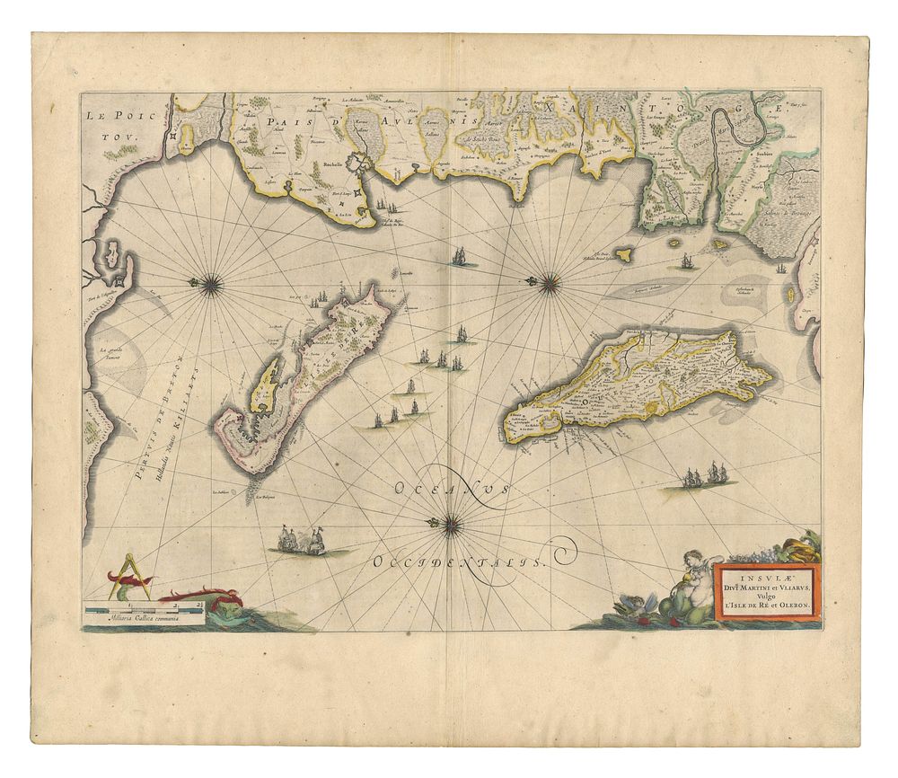
Insulae divi Martini et Uliarius, vulgo L'Isle de Ré et Oleron - A superb 17th-century map of the Île de Ré and Île d'Oléron, located off the west coast of France in the Poitou-Charentes region. The map is oriented with north to the left, a characteristic stylistic choice of the period. The map is enriched with fine decorative elements, including: Compass roses indicating direction, Galleons sailing the waters, A discreet yet elegant title cartouche. The verso features Latin text, typical of Blaeu’s prestigious atlases. Cartographer: Willem Blaeu Date: 1640 Published in: Amsterdam Condition Report: Signs of wear, consistent with age. Size: 39 x 54 cm (15.3 x 21.2 inches) Keywords: Blaeu, Île de Ré, Île d'Oléron, French coastal maps, 17th-century cartography, decorative maps, maritime history, Amsterdam mapmakers, sea monster maps, Poitou-Charentes, Europe maps, French atlas, coastal map, town plan