Bidspirit auction | Carta Esatta Rappresentante l'Isola di
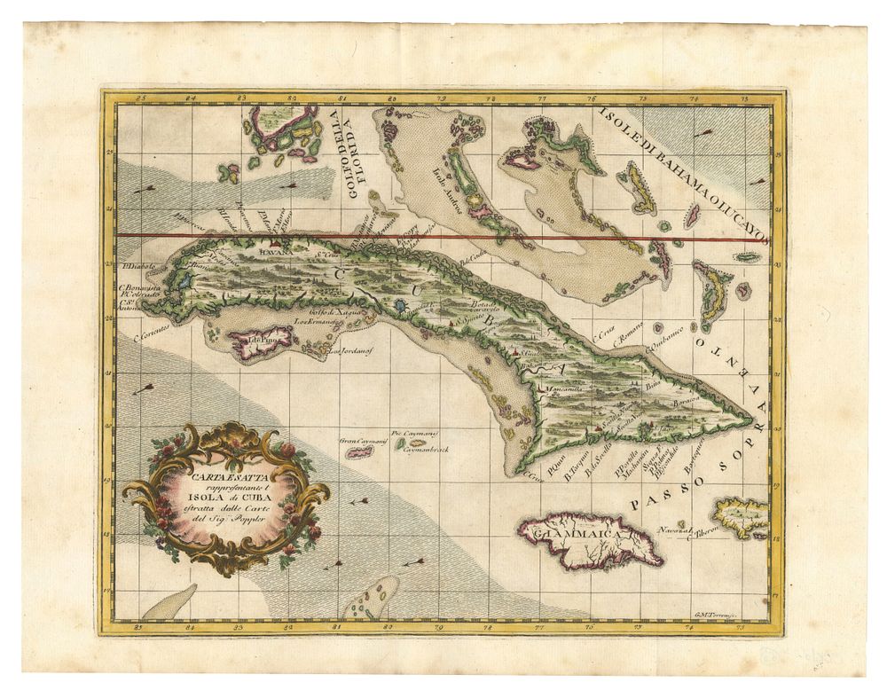
Carta Esatta Rappresentante l'Isola di Cuba Estratta dalle Carte del Sig:r Poppler - A beautiful and decorative 18th-century map of Cuba and Jamaica, published in Livorno, Italy, by Giuseppe M. Terreni for Coltellini's Il Gazzettiere Americano (1763). The map is based on the important wall map of North America by British cartographer Henry Popple. Cuba is depicted in detail, highlighting its cities, rivers, and coastal features. The map extends to Jamaica, the southern tip of Florida, the Bahamas, and the Grand Caymans, offering a broader view of the Caribbean region. Cartographer: Giuseppe M. Terreni Date: 1763 Medium: Engraving with original hand-colouring Condition Report: • A good example, well-preserved. • Original hand-colouring, Size: 26 x 32 cm Keywords: 18th-century maps, antique maps of Cuba, Giuseppe M. Terreni, Henry Popple, Coltellini atlas, Caribbean maps, Bahamas, Jamaica, Grand Caymans, historical cartography.