Bidspirit auction | Nouvelle Espagne, Nouveau Méxique, Isles
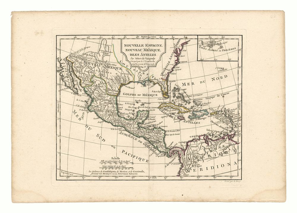
Nouvelle Espagne, Nouveau Méxique, Isles Antilles - A detailed and historically significant 18th-century map of North America, the Caribbean, and Central America, published by Robert de Vaugondy and later corrected by C. Lamarche. Covers the southern United States, Mexico, Central America, and the Caribbean Islands. Highlights key cities including Savannah, Charleston, Santa Fe, Albuquerque, and several important capes along the North American coastline, such as Capes May, Henri, Hatteras, Fear, and Carteret. Cartographer: Robert de Vaugondy (Corrected by C. Lamarche) Date: c. 1748 Medium: Engraving with outline coloring Condition Report: • Good example, with outline colouring. Size: 24 x 30.5 cm Keywords: 18th-century maps, Robert de Vaugondy, antique maps of North America, Nouvelle Espagne, Nouveau Méxique, Louisiana, Florida, Texas, Baja California, Central America, Caribbean maps, historical cartography.