Bidspirit auction | Plan of Johannesburg and Pretoria,
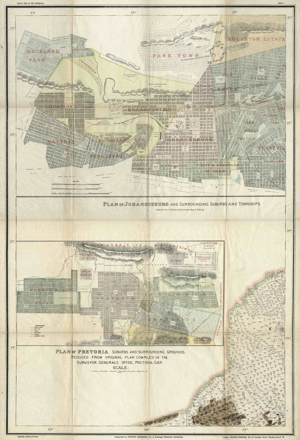
Plan of Johannesburg and Pretoria, 1899 - This early, detailed map of Johannesburg and Pretoria offers a rare glimpse of both cities on the eve of the Anglo-Boer War. 1. Plan of Johannesburg and Surrounding Suburbs and Townships – This is a reduced version of Pritchard's Commercial Map of Johannesburg, showcasing the city and its immediate areas in great detail. 2. Plan of Pretoria Suburbs and Surrounding Grounds – This map was reduced from the original plan compiled by the Surveyor General's Office in Pretoria, illustrating the city and its outskirts. The maps are historically significant due to their use by British military authorities during the Anglo-Boer War. Lord Roberts, the British commander, utilized these plans when occupying Johannesburg and Pretoria in 1900. Maker / Publisher: Stanford, E Place & Date: London, 1899 Medium: Coloured Size: 97.5 x 65.5 cm Condition: The map shows signs of wear and is printed on fabric. Keywords: Johannesburg, Pretoria, Anglo-Boer War, 1899, military map, Stanford, urban planning, British military, map of South Africa, historical map, rare maps.