Bidspirit auction | Carte d'Assemblage de l'Océanique
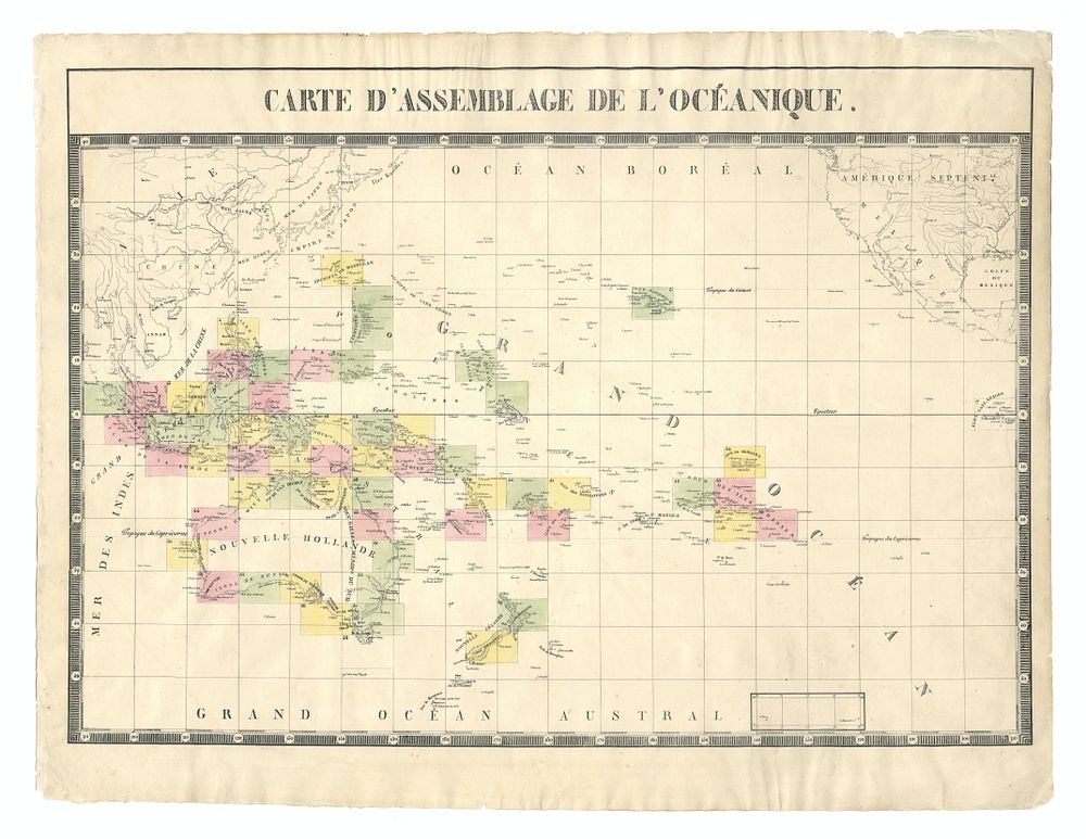
Carte d'Assemblage de l'Océanique - Pacific Ocean Oceania. Antique folio-sized lithographic atlas map, hand coloured, on conical projection. the map shows Pacific Ocean with Australia, new Zealand, the Galapagos, Indonesia, Micronesia, America, and China. This map was published within the first atlas ever to be printed using lithography, and also the first to be printed on a uniform scale; Philippe Marie Guillaume Vandermaelen. Lithography by Henri Ode (1827) Author: VANDERMAELEN Date: 1827 Size of image: 45 x 64.5 cm Condition: minor wear to margins. Keywords: sandwich islands, new holland, new Zealand, Borneo, Bali, Magellan,