Bidspirit auction | Collins' Standard Map of London
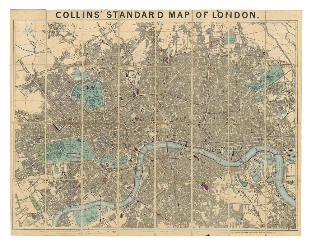
Collins' Standard Map of London - A detailed and attractive folding plan of London, published in 1872, covering an extensive area from Stoke Newington to Camberwell and from West India Docks to Notting Hill. The map is divided into one-mile squares, each numbered and lettered at the borders for easy reference. The original colour is preserved, with railway termini highlighted in red, reflecting the city's evolving transport infrastructure. Cartographer: Henry George Collins Publisher: Edward Stanford, 6 Charing Cross, London Date: 1872 Condition Report: Dissected into 32 sections and mounted on linen, Minor repairs to some folds, Some minor staining. Size: 67 x 87 cm (26.3 x 34.2 inches) Keywords: London map, Victorian London, Edward Stanford, 19th-century cartography, folding maps, London railway, transport history, urban planning, antique maps of London.