Bidspirit auction | Carte du Royaume de Prusse,
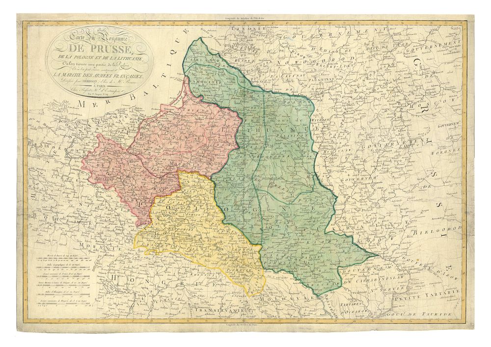
Carte du Royaume de Prusse, de la Pologne et de la Lithuanie, Napoleonic-era map - A rare and historically significant Napoleonic-era map depicting Poland, Prussia, Lithuania, and part of Russia, illustrating the strategic movements of Napoleon's French Army and its allies during the War of the Fourth Coalition (1806-1807). This map highlights the territories that became part of the newly established Duchy of Warsaw, a short-lived Polish state created by Napoleon Bonaparte in 1807 and ruled by Frederick Augustus I of Saxony. Full title: Carte du Royaume de Prusse, de la Pologne et de la Lithuanie, Ou l'on trouve une partie de la Russie et ou l'on peut Suivre exactement La Marche Des Armées Françaises Date: 1806 Publication: Paris Condition Report: • Signs of wear, some restoration. • Nicely coloured example, highlighting the territorial divisions. Size: Image size 52.5 x 76 cm Keywords: Napoleonic Wars, Duchy of Warsaw, Poland map, 19th-century cartography, Napoleon Bonaparte, Prussia, Lithuania, military history, historical maps, rare maps.