Bidspirit auction | Rare map of Hong Kong
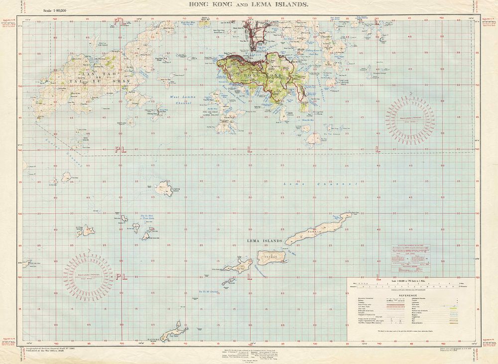
Rare map of Hong Kong and Lema Islands Pre WW2 - This detailed map was published by the British War Office in 1938 and provides a comprehensive depiction of Hong Kong Island, the Kowloon Peninsula, and the surrounding Lema Islands. The map highlights Hong Kong Island's urbanized areas, the largely undeveloped Lantau Island, and the islands of Pun Tin, Yechau, and Tamkan. The map includes precise illustrations of roads, railways, rivers, and lighthouses, emphasizing the region's infrastructure and natural features. Two compasses display the magnetic variation, an essential feature for navigation. date: 1938 Published: England, War Office and Crown 1938. Colour printed lithograph. Total sheet size 73 cm x 97.5 cm. condition: Good example, slight creases to lower margin and small tear repaired in right and lower margin. Keywords: 20th century map, WW2, Crown, Admiralty, War office, British army, Pacific ocean, Hong Kong, China