Bidspirit auction | Falkland Island Dependencies – South
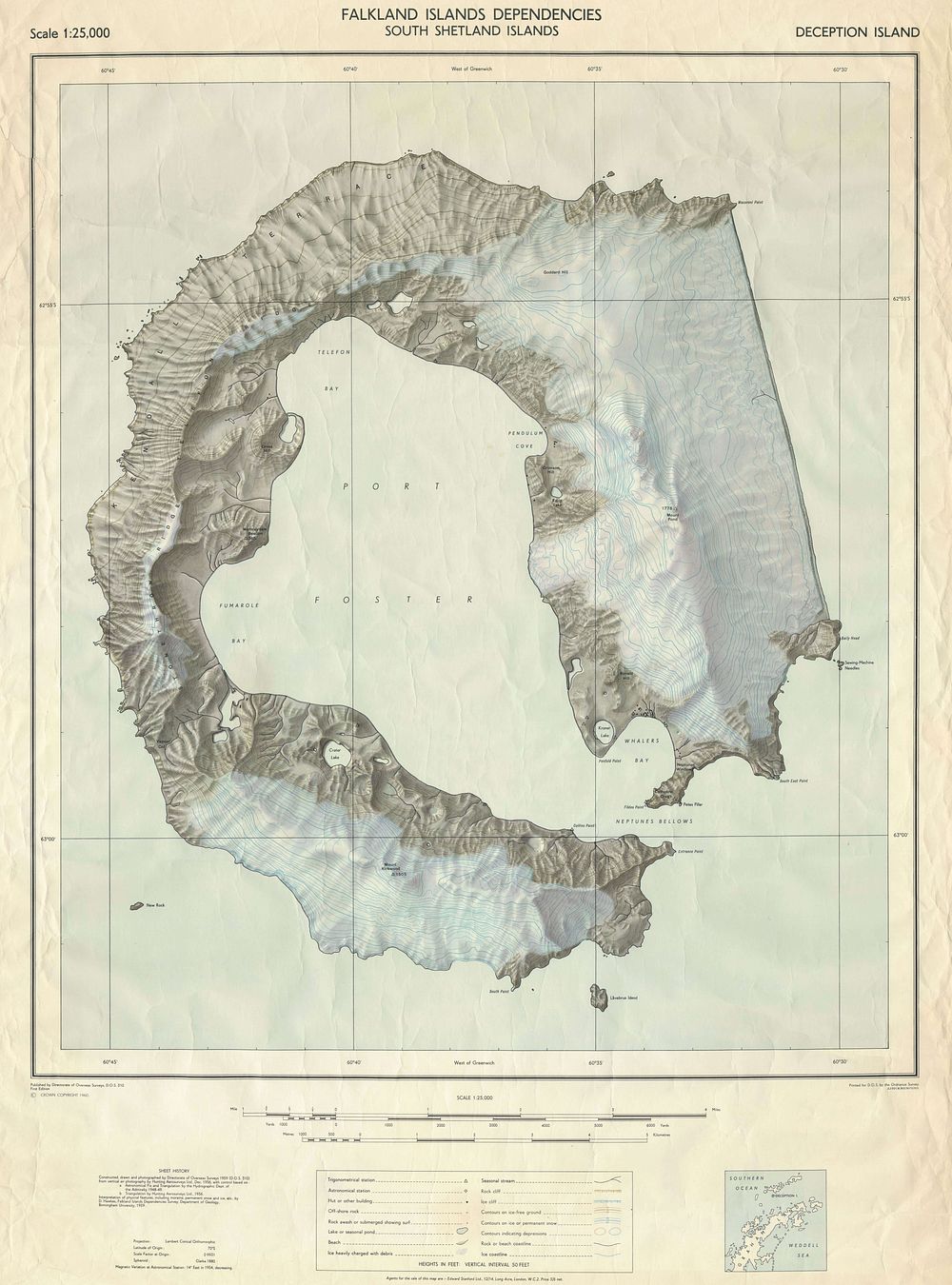
Falkland Island Dependencies – South Shetland Islands - A detailed official map of the Falkland Island Dependencies, focusing on the South Shetland Islands, published by the Directorate of Overseas Surveys in 1960. The map employs a Lambert Conical Orthomorphic Projection, ensuring accurate representation of the region’s geography. This cartographic work highlights key islands, coastal features, and topographical details relevant to Antarctic exploration, navigation, and territorial administration during the mid-20th century. Publisher: Directorate of Overseas Surveys Edition: First Edition, 1960 Condition Report: creases and signs of wear. tears to upper left margin. Size of sheet: 94.5 x 70.5cm Keywords: Falkland Islands, South Shetland Islands, Antarctica, polar exploration, British overseas territories, mid-century cartography, Lambert projection, Directorate of Overseas Surveys.