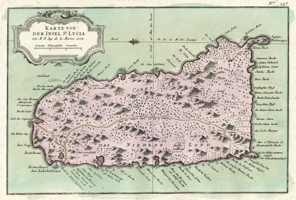
Bidspirit auction | Antique Map of St. Lucia
Antique Map of St. Lucia by Jacques Nicolas Bellin, 1758, Published in Prévost's Histoire Générale des Voyages - This antique map of the Caribbean Island of St. Lucia was created by the esteemed cartographer Jacques Nicolas Bellin and published in the Dutch edition of Histoire Générale des Voyages in 1758. Bellin, renowned for his work as chief hydrographic engineer for the French navy, was tasked with mapping the world’s coastlines during the reign of Louis XV. The map is beautifully coloured, in good condition with large margins, there is minor wear to the lower margin. A significant piece for collectors of historical maps and maritime cartography. Size of sheet 24cm (height) x 39cm (width), 9.4 x 15.3 inch.