Bidspirit auction | Strategic War Points of the
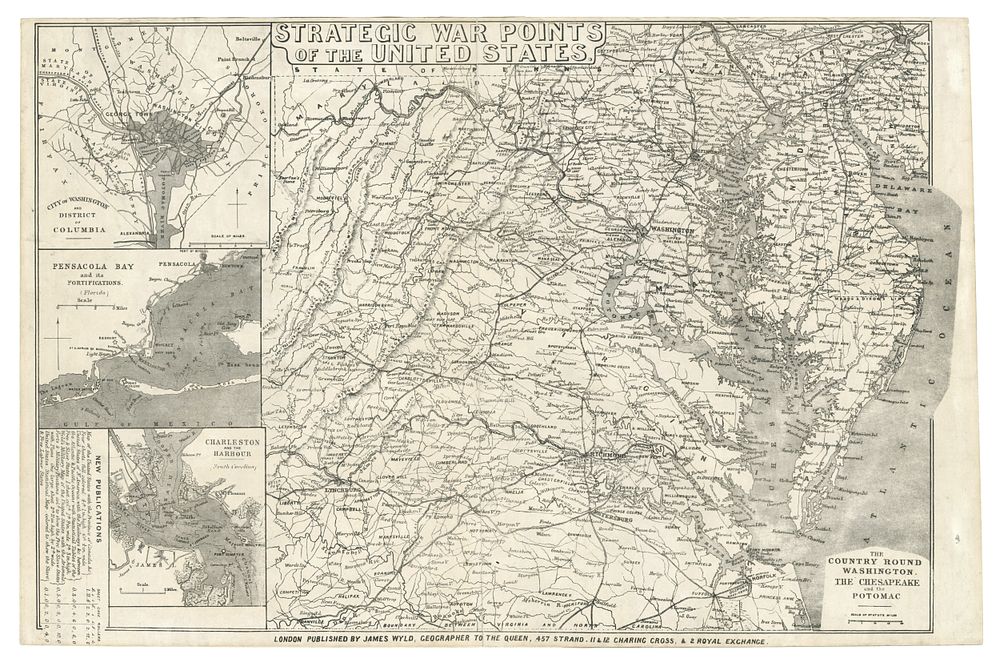
Strategic War Points of the United States, Published by James Wyld, London, 1861 - This scarce wood-engraved map, Strategic War Points of the United States, published in London by James Wyld in 1861, focuses on the eastern states during the Civil War, detailing the border areas between the Union and Confederacy. It includes Virginia, Maryland, the District of Columbia, Delaware, southern Pennsylvania (including Gettysburg), and New Jersey. The map features three insets showing the District of Columbia, Pensacola Bay, and Charleston Harbour. An advertisement for other Wyld maps related to the war is printed at the bottom left. Great for collectors of Civil War maps, American history, and 19th-century military cartography. The map is in good condition with small margins. Size of sheet 34cm (height) x 51.5cm (width), 13 x 20 inch.