Bidspirit auction | 18th Century Map of the
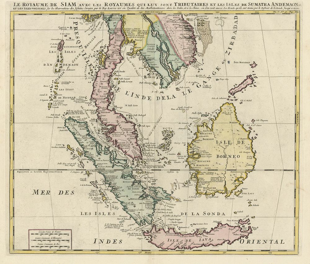
18th Century Map of the Malay Peninsula & Indonesia by Henri Abraham Châtelain, 1719 - A detailed 18th-century map titled ”Le Royaume de Siam avec les Royaumes qui luy sont tributaires et les Isles de Sumatra Andemaon...”, by Henri Abraham Châtelain. This map depicts the Malay Peninsula, Borneo, Java, Siam (Thailand), Malacca (Malaysia), and Cochinchina (Vietnam). It was published in the Atlas Historique in Amsterdam in 1719. The map is hand-coloured and features detailed cartographic elements, showcasing the region's political and geographic landscape during the early 18th century. Condition: A good example with vibrant colours. Size: 38.5 x 44 cm (15.16 x 17.32 inches). Keywords: Henri Abraham Châtelain, 18th century map, Malay Peninsula map, Siam map, Sumatra, Java, Borneo, Malacca, Cochinchina, historical map, Atlas Historique, Indonesia map, antique map, early 18th-century cartography.