Bidspirit auction | 1827 Vandermaelen Map of New
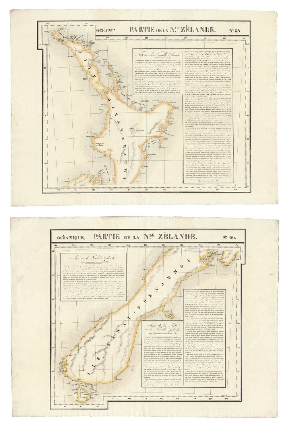
1827 Vandermaelen Map of New Zealand, North & South Islands, Hand-Coloured, Lithographed by Henri Ode - A rare pair of antique folio-sized lithographic maps depicting New Zealand, titled ”Océanique Partie de la Nle Zélande”, published in 1827 by Philippe Marie Guillaume Vandermaelen. These maps, one for the North Island (Map No. 59) and one for the South Island (Map No. 60), are hand-coloured in outline and printed on conical projection. The maps were part of Vandermaelen’s groundbreaking atlas, the first ever to be printed using lithography and the first to be printed on a uniform scale. Lithographed by Henri Ode, these maps are significant both for their historical value and their pioneering role in cartographic printing. Condition: Good condition for both sheets with minimal signs of wear, vibrant colours. Size: 49.5 x 53 cm (19.49 x 20.87 inches) for each map. Keywords: Vandermaelen, New Zealand map, 1827, lithograph, Henri Ode, hand-coloured map, conical projection, New Zealand North Island, South Island map, antique atlas, 19th century cartography, Oceania, lithographic atlas, historical maps, vintage maps.