Bidspirit auction | Coast Chart No. 57 by
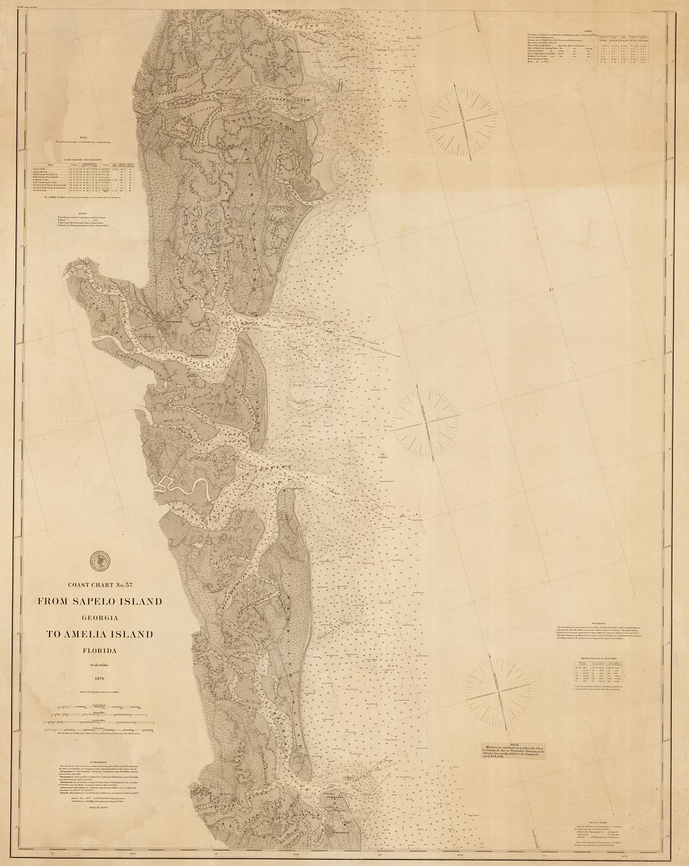
Coast Chart No. 57 by A. & H. Lindenkohl, 1886 – Georgia to Florida - A detailed nautical chart titled Coast Chart No. 57. From Sapelo Island, Georgia to Amelia Island, Florida, published by the U.S. Coast and Geodetic Survey in Washington, D.C. between 1876 and 1886. This chart, on a scale of 1:80,000, depicts the intricate network of rivers and estuaries along the southern Georgia coast, extending to the Florida border. Key locations marked include Darien, St. Simon’s Island, Brunswick, Jekyll Island, Cumberland Island, St. Marys, and Fernandina. Originally published in 1867, this example was updated in 1886, with a pasted label warning mariners about a recent shift in the Fernandina entrance channel (as of April 20, 1886). The chart was drawn by the Lindenkohls and engraved by four specialists—one cutting the outline, another the lettering, and two working on the sand. Condition is good, with some creasing to the edges. Size: The printed area measures 103 x 82 cm (39.53 x 32.28 inches). Keywords: Florida map, Georgia map, U.S. Coast and Geodetic Survey, Lindenkohl chart, 19th century nautical chart, coastal map, estuary map, southern Georgia map, Amelia Island, Fernandina, historical sea chart, maritime chart.