Bidspirit auction | Rare world map from the
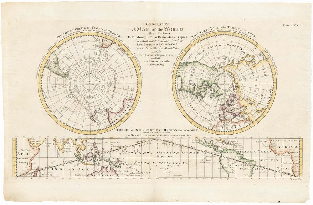
Rare world map from the first American encyclopaedia - Rare map engraved by William Barker that appeared in the scarce first American edition of the Encyclopaedia Britannica, known as Dobson's Encyclopaedia. It shows the world divided in three parts: two polar projections and cylindrical projection showing the tropical regions. The South and North Pole are covered with the ”Southern Icy Ocean” and ”Northern Icy Ocean” respectively. The map focuses on the discoveries made by James Cook in the South Sea during his second voyage and the unsuccessful attempt by Phipps to reach the North Pole. The islands discovered by Kerguelen (named Kerquelin) are also indicated. Full title: Tropics In which are traced the Tracks of Lord Mulgrave and Captain Cook towards the North & South Poles and the Torrid Zone or Tropical Regions with the New Discoveries in the South Sea. Coloured. Size: 24 x 43.5 cm. Date: 1793 Condition: Trimmed top plate on right, with repairs. Author: BARKER, William.