Bidspirit auction | 1788 ”Coromandel Coast” Map by
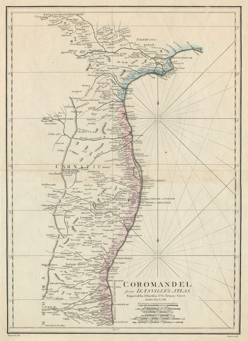
1788 ”Coromandel Coast” Map by Harrison, Derived from D'Anville's Atlas, with Port Cities & Rivers - This fine regional map of India, titled Coromandel, is derived from the influential French cartographer J. B. B. d'Anville's 1753 map, re-engraved, updated, and translated into English by John E. Harrison in 1788. The map covers the southeastern coast of India from Nagapattinam (Nega-Patnam) to Narsapur, and inland as far as Tiruchirappalli and Hyderabad. It offers excellent coverage of the Coromandel Coast, naming key port cities such as Chennai (Madras), Puducherry (Pondicherry), and Nagappattinam, along with important rivers, towns, villages, and roads. Ideal for collectors of antique Indian maps, coastal cartography, and colonial-era maps. Condition: A good example with the coast coloured. Plate size: 50 x 34.5 cm (19.7 x 13.6 inches).