Bidspirit auction | 18th Century Map Seutter Belgium
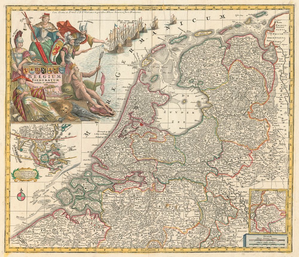
18th Century Map Seutter Belgium foederatum & india oriental - This decorative 18th-century map, titled Belgium Foederatum, was published by Matthäus Seutter in Augsburg around 1760. The map beautifully captures the Netherlands, adorned with a large allegorical title cartouche that symbolizes the wealth and global reach of the Dutch trading empire. An inset map highlights the Dutch possessions in the East Indies, emphasizing the extensive maritime influence of the time. The map is presented in its original colour with additional touches, providing both historical insight and artistic value. It is a striking representation of the Netherlands during the height of its colonial power. Condition: Good example with signs of wear and crease marks. Size: 495 x 570mm (19.5 x 22.4 inches).