Bidspirit auction | Italia Antiqua Philippo Cluvero Borusso
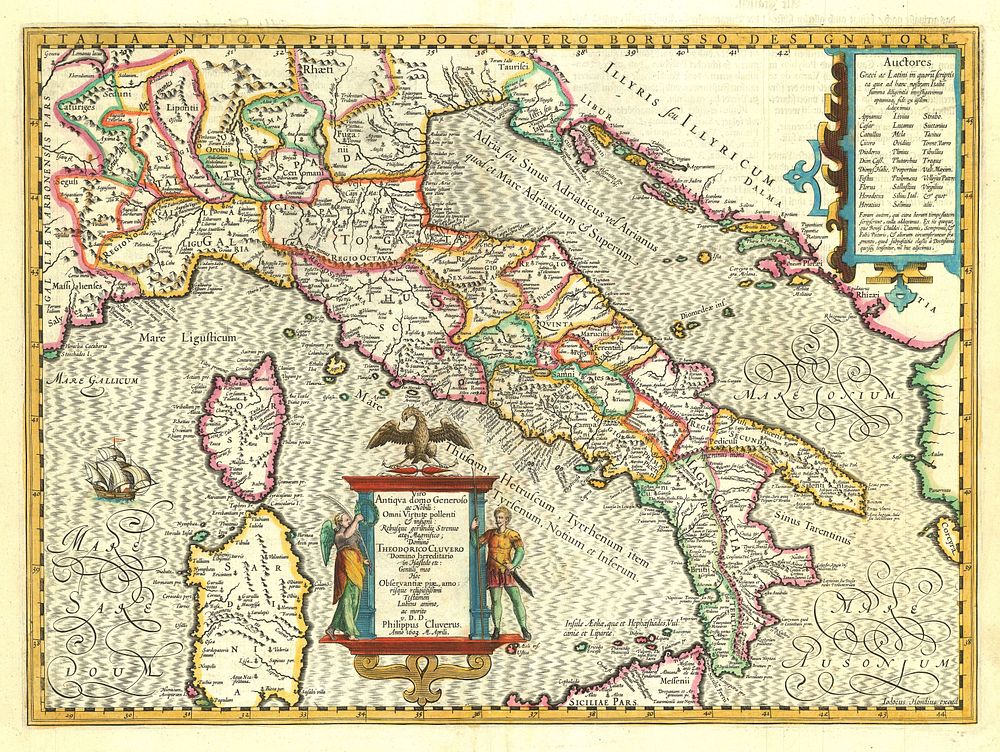
Italia Antiqua Philippo Cluvero Borusso Designatore Philip Cluver (engraved by Jodocus Hondius II) - A decorative map of classical Italy, engraved by Jodocus Hondius II and based on the cartographical research of Philip Cluver. This map features a sailing ship west of Corsica and a striking title cartouche styled as a Roman altarpiece, adorned with allegorical figures of Time and Hercules. Published in Amsterdam by Henricus Hondius in 1636, this German-text edition is presented in its original hand coloring. A remarkable example of 17th-century mapmaking. Cartographer: Philip Cluver (engraved by Jodocus Hondius II) Publication Place: Amsterdam Publication Date: 1636 (German text edition) Size: 36 x 49 cm (4.2 x 19.3 inches), Condition: A good example. Keywords: Philip Cluver map, Jodocus Hondius II, Italia Antiqua, classical Italy map, Roman-themed cartouche, decorative antique maps, Henricus Hondius, 17th-century cartography, German text edition, antique Italy, map of Italy, map of Europe, Stampa antiqa